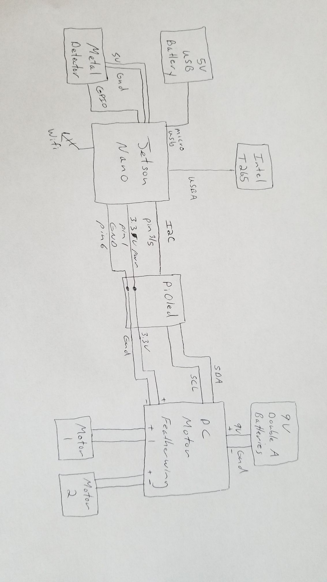
The idea for this project came from watching my floor cleaning robot. Instead of cleaning the floor, it runs a metal detector across the ground or sandy beach hunting for metal objects. For each metal object, it marks the gps coordinates and or, spray biodegradable marker paint. The coordinates are then saved to the cloud and can later be retrieved with a mobile phone app to gather the metal objects. If the metal objects are trash, then you recycle them and help clean up the environment. Otherwise if the metal objects are treasure, you get compensated for your efforts.
To allow this to work efficiently, AI technology is used for both obstacle avoidance and mapping the path. The Intel T265 camera is used for sending pictures and streaming the current cartesian coordinates to the Jetson Nano. The pictures are fed to the AI algorithm for obstacle avoidance and to create the path taken by the robot. When the robot is first started, the current gps location is gathered. Then the cartesian coordinates are fused with the gps coordinates to give an absolute position of the robot with a precision in mm.
Videos will be coming soon.


Comments